
Drone Photography | Aerial Photography
Using drones for aerial photography can produce stunning visuals that are perfect for surveys, mapping, and promotional content across a wide range of industries. The technology and camera capabilities of these devices have rapidly advanced, allowing for even higher quality images and greater versatility in their applications.
How Do They Work?
The quadcopter is the most commonly used drone model, featuring four rotary blades – two that rotate clockwise and two that rotate anti-clockwise. This design allows the drone to fly in any direction, as well as hover, depending on which blades are activated. These versatile drones are equipped with various types of cameras, including standard photographic cameras, infrared cameras, Lidar cameras etc. These cameras are mounted on stabilizing gimbals to ensure smooth footage. Pilots control the drone through a remote control panel equipped with a screen that displays the camera’s feed.
How To Hire Drone Photography And Filming Services?
In the UK, in order for a professional drone service to be legal, the pilot or company is required to be registered and licensed for operation on an annual basis with the Civil Aviation Authority (CAA). They must also hold the relevant insurance policy for drone work. Part of our requirement as a drone company in the UK is to assess the location of a potential service and carry out a pre-flight risk assessment, as such, for drone work to be carried out we need as much information as possible regarding the location. When contacting us for a quote please send us the postcode and further detail regarding the exact location, access, suggested take off and landing locations.
How Much Does It Cost?
The intricacies of a drone flight, the scope of coverage, the type of media required, and the location all play a significant role in determining the cost. Therefore, it is crucial to provide us with comprehensive details about your project when requesting a quote. We will then analyze the airspace for any flight restrictions, evaluate the area for any potential obstructions or sensitivities, and consider any specific needs to deliver an accurate estimate.
What Kind Of Photographs And Videos Can Be Produced?
Our cameras currently capture 5K, 20MP images which are then edited in Adobe Lightroom to bring out their best in terms of light and colour. Where requested our cameras can also take a series of photos when the flight path is strategically planned to take 360 photographs, as well as one large orthomosaic photo made up of hundreds of photos. Please see the drone filming section regarding video footage.
Once the aerial photos or video clips are captured we transfer them to our workstations, revise them and select. These are then edited and presented to the client. Photographic software can help us make corrections, improvements and readjustments that are often necessary due to light conditions etc. Our drone photography is used for surveys, mapping, promotional content and sales for print media as well as for screen. Feel free to contact us and find out how we can help with your project.
Examples of Applications for aerial photography or drone photography
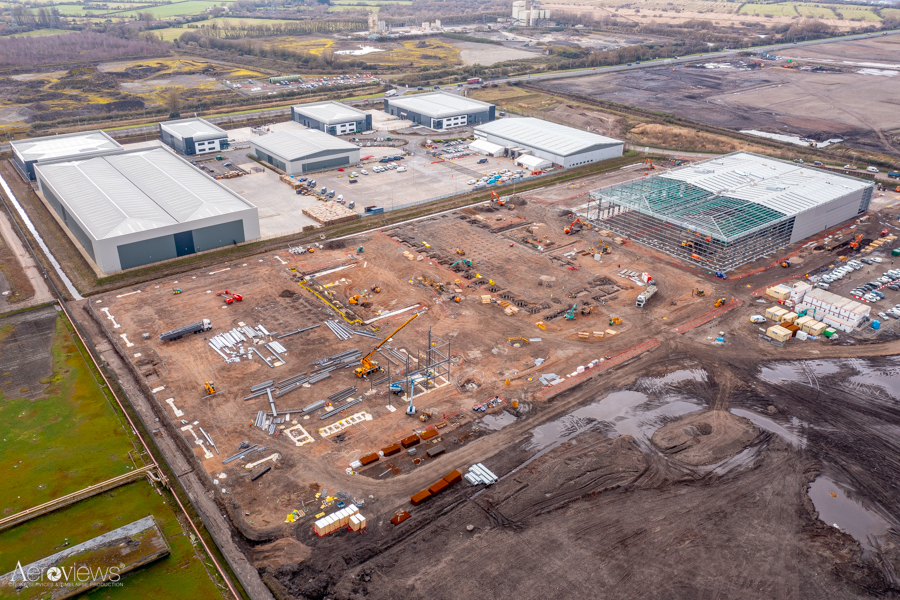
- Construction Surveys
- Roof Inspections
- Building Inspections
- Mapping
- Project Management
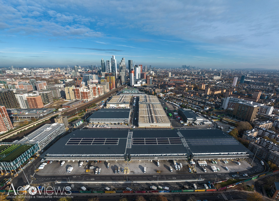
- Real Estate Sales
- Company Promotional Content
- Events, Tourism and POI …